Official results were just posted to the Competition Dynamics Facebook page. We ended up in 26th place (out of 30 teams in the Endurance division). Not bad, I guess, for being lost nearly half of the time that we were on the course.
Brief AAR:
This year, the Challenge was broken up into three "missions". In previous years, the Challenge was one long mission. Based on our reading of the rules, teams would have to complete Mission 1 (Find all the mandatory checkpoints in the right order in the allotted time) before being able to proceed to Mission 2 and so on. Mission 3 was a bonus mission. As it turned out, our interpretation of the rules was incorrect.
The event started with all teams lined up. Each team was given their course map and checkpoint list with UTM coordinates. We were told that the first challenge was required, that it was a log carry and that it was first-come, first-served on the logs. Nick and I opted to follow the crowd (we were one of the last teams to receive our maps and checkpoint list) and hoofed it down the lane away from the HQ and up to the road at the base of the mountain.
We followed the road about 3/4 of a mile to the pile of logs, selected our log, threw it on our shoulders and headed up the hill to the base of the mountain. We were allowed to stay on the road for this portion of the event. That made this a little easier but there was still a pretty good rise to the road up the base of the mountain.
The log carry was a little more than a mile. Both Nick and I felt fresh at the end of the carry. After we put down the log, we grabbed a drink from our hydration packs and pulled out our map, checkpoint list, UTM plotter and compass and got to work plotting the mandatory checkpoints (MCP's). The checkpoint list also had bonus checkpoints (BCP's), emergency water locations and the location of our re-supply cache. We plotted the MCP's and BCP's and the re-supply cache and decided to plot the water locations only if we needed them. (Some checkpoints were supposed to have water.)
The first MCP was due north of our position at the end of the log carry at the top of the mountain.
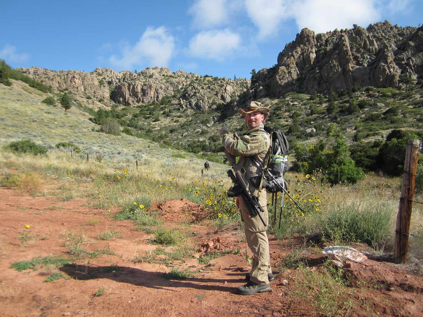
We chose to head up this draw ...

It was a brutal climb. We did a fair amount of "bouldering" on the way up (climbing up and over boulders) and waded through what seemed like acres of dense scrub brush. As it turned out, we should have gone up the next draw to the east. That was where the MCP was located and it was much less rugged than the draw we chose.
Navigational Mistake #1.
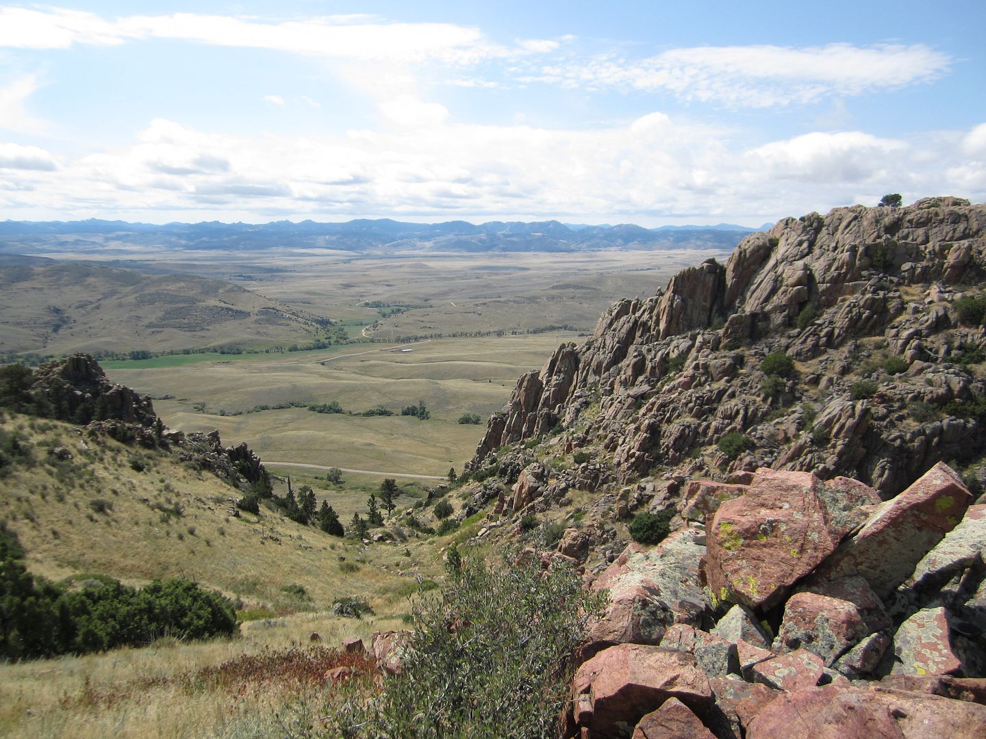
The was the valley in which MCP #1 was located.

Eventually, we realized that we had gone up the draw to the west of the MCP and made our way over to the next draw. It took quite a bit of searching to find the MCP (an orange driveway marker about as big around as your pinky and about 36" tall) hidden behind a tree next to a large rock pile.
From there, we began our search for MCP #2. Unfortunately, we had plotted it two grids north of where it was actually located. (Lesson Learned: Take all the time you need to make sure you plot your points accurately.) We took a leisurely 4 kilometer stroll down the back side of the mountain and then back up again once we realized our error.
Navigational Mistake #2.
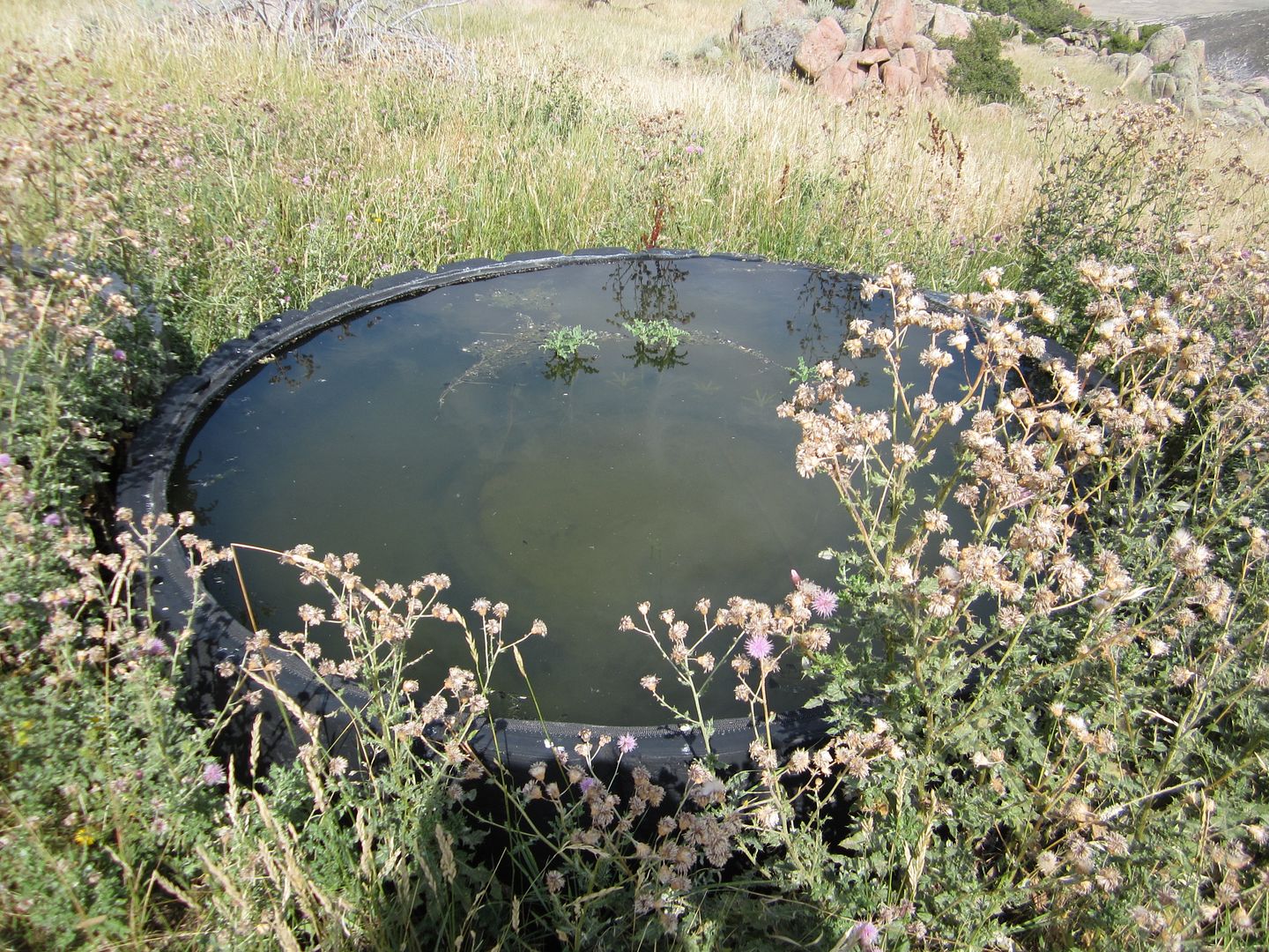
Nick ran out of water on our return trip up the mountain. I was down to about a half a liter after sharing with Nick to get us back up to the top again. We stopped and plotted the nearest "emergency water" location. Fortunately, we navigated quickly to the water supply. Unfortunately, here is what we found.

Emergency water, indeed!
Fortune favors the prepared. After reading on the Competition Dynamics website that much of the water re-supply would need to be "harvested" from "fresh" sources I had decided to carry the additional weight of my Katadyn Hiker water filter/pump. We filtered about 1.5 liters of water into each of our hydration bladders and set off to find MCP #2.
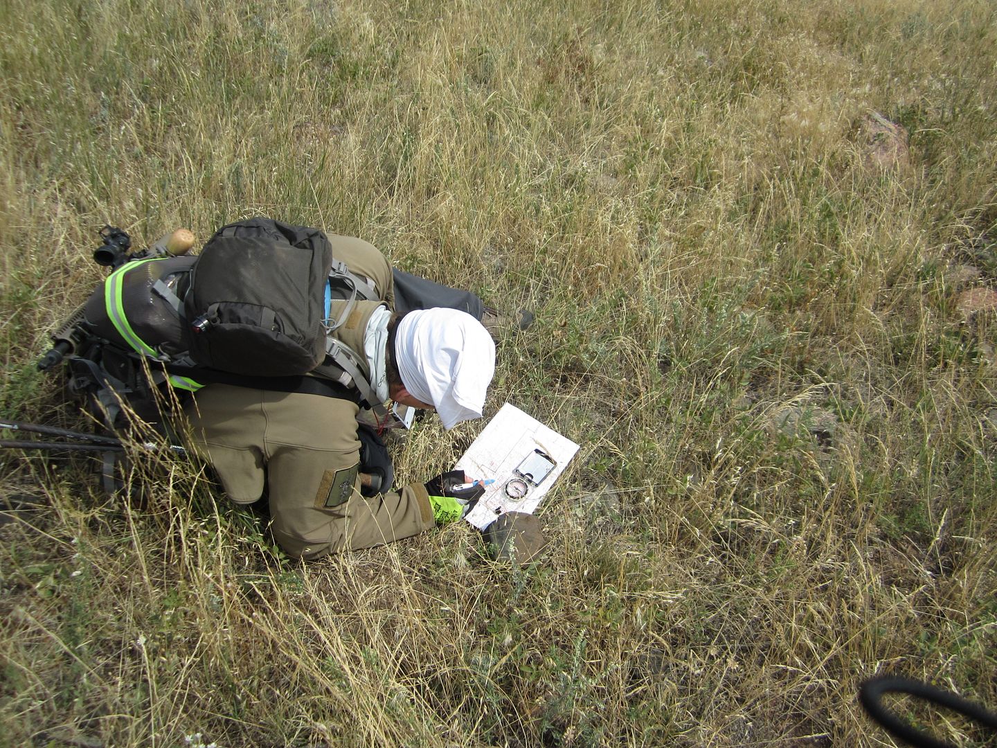
Nick re-plotting MCP #2

Once we had the correct location, it didn't take us terribly long to find MCP #2. After finding it, we stopped, double-checked our plotting for MCP #3 and mapped a route that followed a small stream along the valley in the middle of the mountains. The going was relatively easy. We found a well-used game trail and made good time. Unfortunately, we mis-read the terrain and ended up searching in the wrong area for the checkpoint.
Navigational Mistake #3.
After an hour-long search, we decided to head in the direction of the re-supply cache. As we headed for the cache, we noticed a pickup parked at the east end of the valley in which we had been searching for MCP #3. We headed for the pickup after remembering that MCP #3 also included a challenge (meaning the checkpoint would be manned). The checkpoint was about 10 yards from the pickup. That was exasperating!
We punched our card for the checkpoint, completed the challenge (demonstrating that we were carrying some of the required gear), refilled out water bladders and headed for MCP #4, the final mandatory checkpoint for Mission 1. It was about 6:00 p.m. and our cutoff was 8:00 p.m.
We found a double-track trail that seemed to lead in the general direction of MCP #4 and followed it to increase our speed. The trail led us to within a few feet of the checkpoint. We punched our card and checked our watches. We had about an hour and 15 minutes to make it back to HQ before the 8:00 p.m. cutoff.
The hours spent hauling packs around Nebraska and Iowa's biggest hills served us well. We set a blazing pace back to HQ. My estimate is that we were logging 15 minute miles. While that may not sound particularly fast, keep in mind that we were carrying roughly 50 lbs of gear and we had been climbing up and down a mountain, carrying that gear, for nearly 12 hours.
Night fell. We switched on our red safety beacons and kept up our pace. At about five minutes to 8:00 it became clear that we would not make the time cutoff for Mission 1. We slowed our pace and finished the last mile or so. Both of us felt defeated. We had made up so much time since MCP #3. Yet, it wasn't enough.
We dragged ourselves into HQ and turned in our punch card.
"That's it. We're done, right?" I asked.
The gal at the check-in told us that we would still be allowed to continue on to Mission 2. Nick and I looked at each other, surprise on our faces.
We requested that the woman check with the race director and he confirmed that we could continue.
With that, we took our next set of coordinates and the Mission 2 punch card and went to sit down to eat and change socks. We both wanted to continue but recognized that we might well be risking our lives if we made similar navigational mistakes at night. After discussing it for a few minutes, we made the decision to "ring out". It wasn't the heroic thing but it was the intelligent thing. Getting lost in those mountains in the dark would not only have risked our lives but, potentially, the lives of those who might have had to come retrieve us.
Watching the gal at the check-in/out desk write "quit" next to our team name was one of the biggest disappointments of my entire life. I hate quitting. I'm not even sure I knew what the word really meant until that instant. It sucks.
With that said, we did a LOT of things right (probably including quitting).
Our fitness was superb. To be able to log 15:00 miles at the end of a 12 hour day ... that was an incredible feeling.
Our gear was excellent. Not a single piece of gear failed us during our 12 hours on the course.
Our packing was top notch. Several competitors commented on how small our packs were. We had honed our packing to the point where we had exactly what we needed and not a single ounce more.
At the end of it all, we're going to train harder this coming year. We're going to work on land nav until we're like laser guided missiles in the light or in the dark. We're going to keep up our fitness regimen and add some weight. We're thinking about switching shooting roles to allow this "old man" to carry the lighter of the two rifles.
We'll be back next year!